 Safe Water Network and Envicom Corporation are partnering on a project to re-think feasibility assessments for water infrastructure.
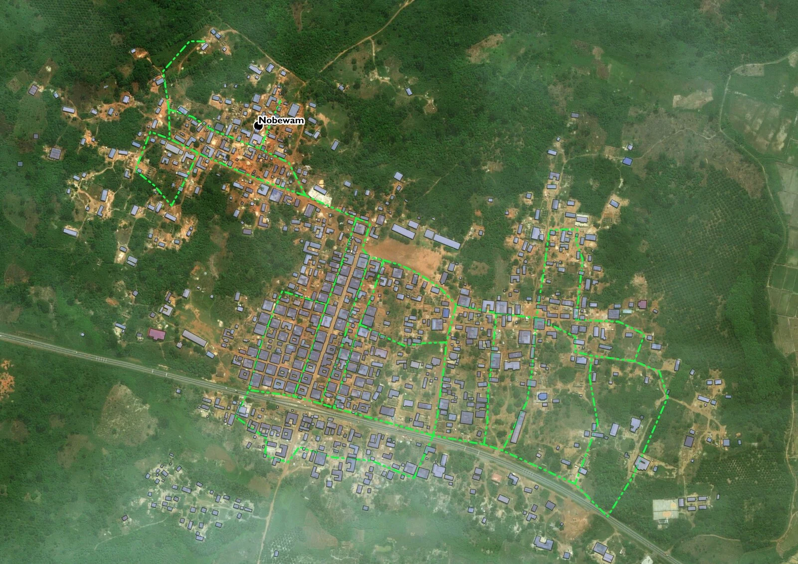
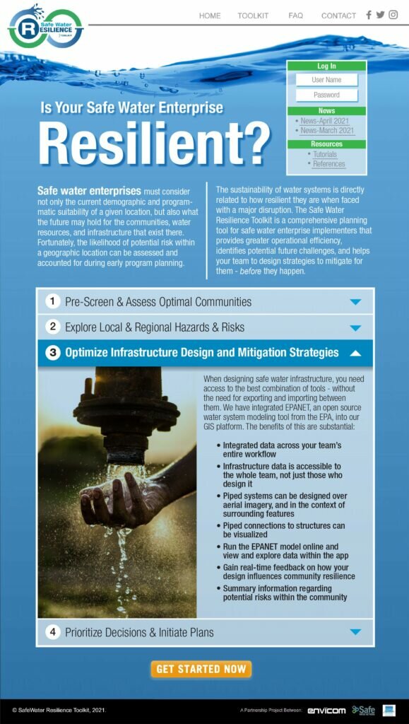
The project evaluates and demonstrates the benefits and cost savings of using geographic information system (GIS) technology for site planning. The end-product will allow users to produce quantitative risk assessments based on nuanced analytics that factors in metrics on environmental risk, existing infrastructure, and socio-economic status. Users can access a visual assessment with GIS data overlaid with other data.
The tool has the capability to reduce costs and improve the accuracy of predicting hazards and risks for many types of water infrastructure.
Sign up to hear more updates about this tool or contact us about participating in a demo.